Urban planning is at the heart of creating cities that are not only functional but also sustainable for future generations. An essential component of this process is land surveying, which provides the precise measurements and data needed to plan, design, and implement urban development projects. The collaboration between land surveyors and urban planners is critical in shaping cities that balance growth, infrastructure, and environmental considerations.
The Role of Land Surveying in Urban Planning
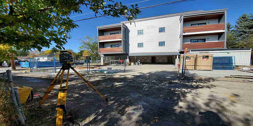
Land surveying serves as the foundation for urban planning by providing accurate information about the terrain, boundaries, and existing structures within a specific area. This data is vital for creating detailed maps and models that urban planners use to design cities that are both efficient and sustainable.
Surveying involves the use of advanced technology, such as GPS and drones, to collect data that helps urban planners understand the topography, identify potential challenges, and make informed decisions about where to place roads, buildings, and public spaces. For example, when considering the expansion of a residential area, surveyors will provide data on elevation, land use, and the location of natural features like rivers or forests. This information is essential for ensuring that new developments are built in suitable locations and that they do not negatively impact the environment.
In regions like Saskatoon, where urban expansion is ongoing, survey services in Saskatoon play a crucial role in ensuring that growth is managed in a way that respects both the natural landscape and the needs of the community. By accurately defining property boundaries and identifying any potential issues with land use, surveyors help to prevent legal disputes and ensure that development projects proceed smoothly.
Integrating Sustainability into Urban Development
One of the key challenges facing urban planners today is the need to create cities that are sustainable and resilient to the impacts of climate change. Land surveyors contribute to this goal by providing data that supports the integration of green spaces, energy-efficient infrastructure, and sustainable transportation systems into urban designs.
For instance, surveyors may identify areas that are prone to flooding or erosion, allowing planners to design drainage systems and infrastructure that mitigate these risks. They can also help to map out areas for parks, green roofs, and other green infrastructure that not only enhance the livability of a city but also contribute to reducing the urban heat island effect and improving air quality.
Moreover, survey services in Saskatoon are instrumental in the planning of transportation networks, which are a critical component of sustainable urban development. By providing precise data on existing roadways, elevation changes, and land use patterns, surveyors enable planners to design efficient public transit routes and pedestrian pathways that reduce reliance on cars and lower the city’s carbon footprint.
The Future of Urban Planning and Surveying
As cities continue to grow and evolve, the partnership between land surveyors and urban planners will become even more vital. Innovations in surveying technology, such as the use of 3D modeling and geographic information systems (GIS), are enhancing the ability to visualize and plan urban environments in greater detail than ever before.
For urban planners in Saskatoon, leveraging the expertise provided by survey services in Saskatoon ensures that development is not only sustainable but also aligned with the community’s long-term goals. This collaboration between surveying and planning professionals is key to creating cities that are not only well-designed but also resilient, adaptable, and capable of supporting future generations.
The synergy between land surveying and urban planning is essential for shaping the cities of tomorrow. By providing the data and insights needed to plan sustainable and livable urban spaces, surveyors play a critical role in ensuring that cities are built to last, with a focus on environmental stewardship and community well-being.
For more information about Survey Services Regina and Land Survey Companies Kelowna please visit:- CORE Geomatics